
Denton Neighbors by Block Source
Different official sources answer different block questions. The Denton CAD GIS is the best first stop for the parcel shapes that touch a target lot. The property card then supplies the appraisal record for a parcel, while the County Clerk preserves the instrument trail behind it. City neighborhood resources describe organizations and boundaries, rather than a list of people who live on a block. Treat every result as a record category with its own date, scope, and limits.
| Block source | Useful Denton evidence | How to reach it |
|---|---|---|
| Denton CAD GIS parcel layer | Adjoining polygons, parcel IDs, legal, subdivision, road, city, and school-boundary context. | Public map and ArcGIS service. |
| City GIS mapviewer | Address points, Parcels layer, platted-status context, and CAD map connection. | City mapviewer; its map is not a survey. |
| Denton CAD property card | Situs address, owner name, mailing-address distinction, legal description, values, and parcel identifiers. | Public property search. |
| County Clerk plats and deeds | Lot and block, easements, parent tract, transfer roles, and boundary wording. | Official Records Search; older coverage can require clerk or microfilm access. |
| Neighborhood and HOA records | Group-supplied boundaries or association certificate context, not a member roster. | City neighborhood resources and Texas certificate records. |
A block relationship is not established by a single row. A property owner may use a mailing address elsewhere, and a deed records a transfer rather than presence at the parcel. Keep the situs address, owner field, legal description, and map relationship separate. This approach gives the block a sound record trail without turning public material into a private household list.
Denton Neighbors on CAD GIS
In CAD GIS, select Advanced under Find a Property and enter any useful part of the address or parcel information. Turn on Parcels, then add Address, Owner, Abstract, Subdivision, Streets, city limits, ISD, or sales layers only when they answer the question at hand. Clicking a polygon can expose the map number, called the R Number in county instructions, and ties the visual lot to a parcel record. The public service supports query and identify operations, with a stated maximum of 2,000 records.
Begin with the target polygon, then identify only parcels that actually share a boundary or another defined relationship. A road, alley, drainage area, creek, common area, or subdivision line can make a nearby parcel different from an adjoining one. Record the layer names and map date. City limits, school districts, tax units, and postal areas can cross a Denton block in different ways.
Use the Denton CAD GIS viewer to see the layers and parcel relationship described here.
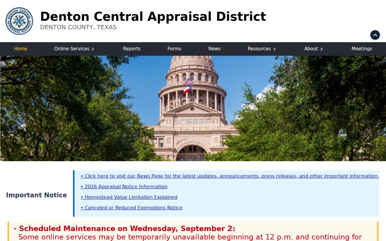
The viewer is strongest for a parcel map relationship. It is not evidence that a person currently occupies a parcel.
Denton Block Grid Clues
The City Address Grid service adds a local way to preserve block orientation. Its display field is BLK_, and the service publishes public query metadata. Save that grid label with the map date when a street number has changed or when the parcel relationship needs context. It is a map clue, not a substitute for the legal description or a survey.
Denton assigns addresses within its corporate limits, usually after a plat is filed or by request. Streets can continue through city limits, the extra-territorial jurisdiction, nearby places, and different ZIP areas. City standards also require review of similar street names and continuity with adjoining plats. A Council ordinance is required for a dedicated-street renaming, so an old street label can need a City record search before it is matched to a current map.
Note: A postal ZIP and the City map can orient a block, but the current GIS and a USPS address result settle different questions.
Map a Denton Block by Parcel
Map a Denton block as a parcel exercise, not a name search. The CAD card gives the current appraisal snapshot, including a Property ID or GEO ID and legal description. The county tax search is a separate layer, and it clearly distinguishes the owner mailing address from the physical property location. A homestead field is an appraisal classification, not a list of everyone at an address.
- Enter the target address in Denton CAD and preserve the situs address, PID or GEO ID, legal description, subdivision or abstract, and map pin with the access date.
- Open CAD GIS, turn on Parcels, and identify only the polygons adjoining the target. Note each shared side, road, alley, drainage feature, or common area.
- For each adjoining polygon, record the situs, parcel ID, legal description, and owner-mailing distinction at the level needed to understand the map relationship.
- Compare the legal descriptions in the County Clerk index for shared plats, easements, a common grantor, boundary corrections, releases, or access instruments.
- Label the result as parcel evidence. For a complete chain along a named road, use the Denton street directory workflow instead.
The useful flow is address to CAD record to GIS polygon to adjoining parcel IDs to Clerk instrument. That sequence avoids treating a mailing field, an owner record, or map proximity as proof of a current household. A parcel split can produce several modern IDs from one older tract, so compare plats, acreage, and boundary calls before connecting history.
Denton Block Plats and Easements
When adjoining parcels share a plat, easement, parent tract, or older grantor, the connection belongs in the recorded-instrument trail. The Denton County Official Records Search accepts grantor or grantee, subdivision, document type, document number, and date-range terms. Use the legal description from CAD rather than relying on the street number alone. The Clerk's index is a lead, and the image or clerk copy is the point at which a transfer and its boundary language can be checked.
Search the latest instrument first, then compare cited prior instruments and nearby plats, correction deeds, deeds of trust, releases, liens, probate papers, and easements. A common developer or parent tract can explain similar legal descriptions without showing that current owners know one another. Recording date supplies public chronology; execution date can differ. If an image is unavailable online, preserve the volume, page, or instrument number and ask the County Clerk or a microfilm holder for the underlying record.
Denton Neighborhood Group Records
City-registered neighborhood groups offer a community layer that parcel records do not. The City of Denton Neighborhood Resources route covers organization support and group-supplied boundaries. Its registration form asks for the group or association name, website, year organized, west, east, north, and south street boundaries, contact details, and meeting schedule. Those fields describe the organization and its stated area, not a resident directory.
City neighborhood groups
P.E.C.A.N./Denton Neighborhood Alliance, Denia Neighborhood Association, Southeast Denton Neighborhood Association, Fry Street Neighborhood Association, East Oaks Neighborhood Organization, and Denton Downtowners appear in City resources or archives. Confirm present activity directly with the group or City route.
Registration contact
Community Services receives the neighborhood registration form at 401 N Elm. The research lists Joshua.Ellison@cityofdenton.com and 940-349-7433. Check current form details before relying on meeting information.
Open the City resource page for the registered-group route shown in this image.
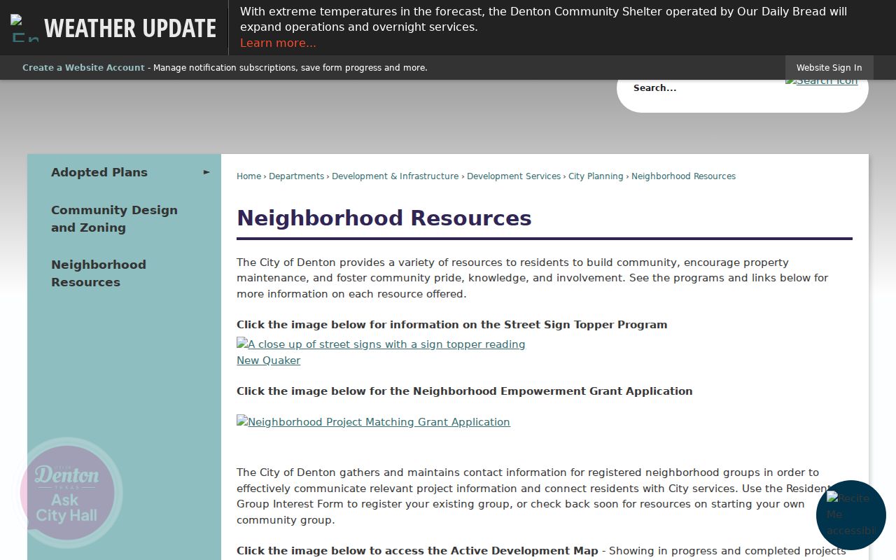
City neighborhood resources connect a block to a public organization path. They do not disclose a household or member roster.
Denton HOA Certificate Context
Texas HOA management-certificate results can add an association name, county, city, ZIP, type, and certificate document to the block record. They cannot establish membership, parcel coverage, or current activity by themselves. The State directory warns that certificate information is user-provided and not guaranteed, so compare an association record with the plat and the specific source date.
| Certificate-directory examples | Windsor Denton Community Association, Robinson Oaks Estates HOA, Dry Creek HOA, Community Association of Valencia, Southridge Estates HOA, HOA of Brentwood Place, and Prairie Plaza Owners Association appeared in Denton County results. |
|---|---|
| What the category can show | Association-level name, city, ZIP, type, and management-certificate context. |
| What it cannot show | A private member list, a conclusion that every nearby parcel belongs, or a current-residency claim. |
Local names such as Forrestridge Estates HOA, Glenwood Meadows HOA, Southridge, Robinson Oaks, and Windsor Denton are useful search terms only when paired with their source and date. Readers seeking an organization answer should use the City boundary route and the State certificate record together, not infer one from a ZIP label.
Denton Neighbors in Historic Evidence
For an older block, a 1936 or 1939 directory, an 1885 Sanborn sheet, a newspaper notice, and a later deed can each place a person or building in time. The Denton Public Library Special Collections holds directories, phone books, newspapers, maps, tax rolls, deed and probate microfilm. Its 1923, 1929, 1936, and 1939 directory examples are snapshots, while the strongest runs are from the 1940s. A directory entry can identify a listed resident or owner notation for that year, not a present occupant.
The historic trail has a central Denton gap: the 1875 courthouse fire destroyed most county records. Texas State Library microfilm and later deed books help reconstruct the evidence, but an absent early county file does not prove that a parcel or person had no history. The fire makes a dated source ladder more reliable than a simple first-owner story. Pair a map or directory page with the legal description so changing street names and parcel splits do not create a false match.
Note: The DPL guide identifies a digital newspaper gap around 1981 to 2002, so microfilm or a library database may be the needed block source.
Denton Neighbor Tools Compared
Official parcel records and commercial neighbor tools serve different purposes. For a block question, official sources preserve a custodian, a record type, and an access date. Commercial tools may combine material from different places and periods, so their label should never replace a parcel ID, recorded instrument, or organization record. When records disagree, return to the custodian rather than choosing the most convenient result.
| Official Denton source | Commercial neighbor category | Careful use |
|---|---|---|
| CAD, GIS, County Clerk, City neighborhood resources | Compiled people or neighborhood profiles | Use official records for parcel, boundary, and instrument verification. |
| Named custodian and dated record context | Mixed-source summary with variable update practices | Do not treat a summary as a current-residency finding. |
| Organization boundary or certificate category | Contact or household grouping claims | Respect protected addresses and avoid publishing a derived household list. |
Keep the official source link and access date beside any conclusion about a parcel or group. That record trail makes later verification possible when a portal changes or a property changes hands.
Denton Neighbors and Voter Records
Texas My Voter Portal is for verifying a registration record through a specific combination, not for producing a block contact file. The name route requires first name, last name, date of birth, county, and ZIP. Other routes use a Texas ID or VUID with date of birth. The available public result should be described only by what it displays, such as registration or precinct context, and should not be expanded into a full address profile.
A voter-file request is a different process. The Secretary of State's public-information form has date-range, statewide or partial-area, county, precinct, data-selection, certification, and deposit elements. Election Code Chapter 18 places use limits on registration-list information, including a prohibition on using it to advertise or promote commercial products or services. For a current precinct question, Denton County Elections can confirm the jurisdiction after GIS and address information identify the parcel.
Denton Neighbor Lookup Privacy Limits
Public records do not turn a block into an unrestricted directory. Texas Government Code Chapter 552 contains confidentiality and redaction rules, including provisions for protected personal contact and motor-vehicle information. Birth and death access has separate timing rules under Section 552.115. The Texas Address Confidentiality Program lets qualifying survivors use a substitute mailing address, while voter-address confidentiality has its own protections. Do not try to reverse a protected address or fill a hidden official result from another source.
Parcel data can identify a recorded owner or mailing field, not every resident or a current presence at the property. City neighborhood information is organizational, and an HOA certificate is not a member roster. Ask a custodian for a redacted copy when a record is partly public, and preserve a PID, instrument number, directory year, or map date instead of sensitive identifiers.
Lawful use. Denton neighbor research can support block familiarity, civic curiosity, and a careful property-history question. Do not use records to watch, harass, intimidate, or harm anyone, and do not publish protected-address information.