
Previous Residents at a Denton Address
Denton's backward address trail changes with the era. Start with the current Denton parcel card to stabilize the property identity, then use Denton County Clerk recorded instruments for title changes. Directories, phone books, tax rolls, newspapers, maps, permits, probate material, and cemetery sources can fill the dated spaces between transfers. Each Denton source has a distinct purpose. It is safer to describe a person as a deed party, taxpayer, directory listing, or named heir than to merge those labels into one claim. That distinction is the clearest way to investigate who lived here before.
| Source | Years it covers | Where held | What it can show |
|---|---|---|---|
| Denton County tax rolls | 1846 to 1910 listed in the DPL guide | DPL, county microfilm, or archival access | Taxpayer or account, property description, and valuation context |
| Denton County deed microfilm | 1854 to 1855 and 1875 to 1903 ranges; DPL also lists 1854 to 1895 | Texas State Library, UNT microfilm, and County Clerk | Grantor, grantee, legal description, and volume or page |
| Denton probate minutes, wills, and inventories | Minutes 1876 to 1887; wills 1867 to 1893; appraisals 1876 to 1889 | DPL and county historical records | Heirs, fiduciaries, property descriptions, debts, and family links |
| Denton directories | 1923, 1929, 1936, 1939; stronger runs from the 1940s | DPL and Portal to Texas History | Dated household, address, telephone, and owner notation when printed |
| Denton Record-Chronicle and local papers | Microfilm 1909 to 2018; partial digital runs | DPL, Portal, and library resources | Obituaries, legal notices, moves, sales, and civic references |
| Denton Sanborn and permit material | October 1885 Sanborn confirmed; permit-card index dates not located | Library of Congress, City, and Special Collections request | Building footprint, street or lot context, and project clues |
For a recent Denton transfer, the parcel card and recorded deed are the first pair. For an older Denton house history, begin with the source nearest the target year and work in both directions. If a source is not online, the fallback chain is the Denton County Clerk, DPL Special Collections, Texas State Library microfilm, the Denton County Research Room, or a carefully described public-information request. Note: Denton County's 1875 record loss means an early no-match needs a second source before it is treated as meaningful.
Freeze a Denton Parcel Identity
For a Denton house history, the modern parcel card is a starting snapshot. Denton Central Appraisal District exposes a compound text search for an account number, address, or owner name, plus name, Property ID, Owner ID, Geographic ID, Reference ID, Tax Office ID, and Property Address fields. Advanced filters include street address, owner name, subdivision or condo name, city, school district, taxing unit, and market-value range. Save the current Denton situs address, PID or Ref ID, GEO ID, legal description, subdivision, abstract, acreage, map pin, and access date before moving backward.
The Denton card can distinguish a property address from an owner mailing address. It may show an owner name, legal description, market and appraised values, exemption fields, inspection or permit remarks, and other property details. A Denton appraisal card is not the historic deed record, and a mailing address does not establish presence at the parcel. The legal description is the bridge into older Denton books because parcel IDs may change when a larger tract is split.
The official Denton CAD Property Search begins the current-parcel step with address, owner, and identifier search modes.
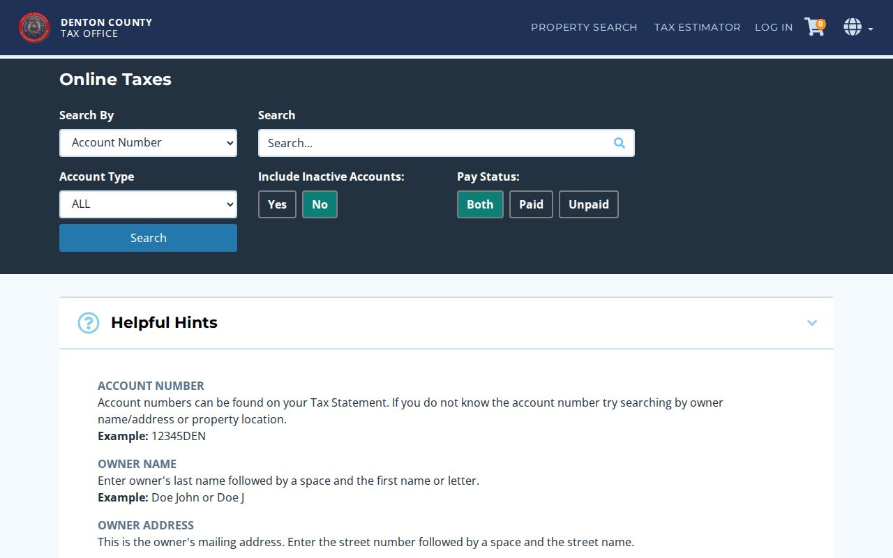
The separate Tax Assessor/Collector search is useful for comparing property location with owner mailing-address fields, account type, inactive status, and paid or unpaid status.
Denton Deed Chain Records
The Denton County Clerk Recording Division preserves Denton deeds, plats, liens, releases, easements, powers of attorney, and other real-property instruments. Its Official Records Search has a Real Property department with Quick Search and Advanced Search tabs. The visible search term accepts a grantor or grantee, subdivision, document type, or document number, and it offers recorded-date filtering plus index-only and index-with-full-text modes. Begin with the current owner identified for the Denton parcel as grantee and the legal description. A street address can be a second search, but older Denton instruments often index the legal description more reliably.
- Open the newest deed tied to the current parcel and record its instrument number, recording date, execution date when shown, grantor, grantee, and legal description.
- Find the cited prior instrument or search the seller's earlier acquisition using the same legal-description terms.
- Repeat the sequence backward, keeping deed of trust, release, lien, easement, plat, correction deed, partition, and probate instruments in separate rows.
- Use a narrow recorded-date range and the index-only mode when OCR adds noise; use full text only as a discovery aid where OCR exists.
- When a cited book, page, or volume is unavailable online, copy the citation exactly and ask the County Clerk or microfilm custodian for that item.
- Grantor and grantee
- The grantor is the party conveying an interest in an instrument. The grantee is the party receiving it.
- Chain of title
- A sequence of recorded transfers connected by cited instruments and a consistent legal description. It can be incomplete where a record is missing, destroyed, or not yet inspected.
- Legal description
- The parcel language, such as lot, block, subdivision, abstract, or metes-and-bounds text, used to identify land more steadily than a changing street number.
The Denton County Official Records Search shows the Clerk's search controls for the deed-chain portion of a previous-residents trail.
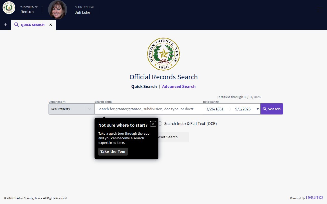
Open an instrument and compare the party roles, recording and execution dates, legal description, and volume or page before connecting it to the next transfer.
Legal Descriptions Before Denton Street Numbers
A street number is convenient, but it is not permanent parcel identity. Denton research can encounter renamed streets, renumbering, subdivision, replats, annexation, or a split from one older tract into several modern PIDs. The legal description for a Denton parcel, its lot and block, survey or abstract wording, and subdivision name give the Denton County Clerk a more stable path through those changes. Denton CAD GIS can also connect the address to parcel geometry, abstract, subdivision, city limits, school district, and street layers.
For an old Denton address, compare the modern legal description with a plat, a directory page, a Sanborn sheet, newspaper notices, and City street-name material. The research did not locate a complete Denton historical-renumbering index, so change only one Denton search variable at a time: a former street name, an initial, a date span, a subdivision phrase, or document type. Record the Denton map date and layer names with the result. This keeps a location conclusion distinct from an unsupported identity claim.
Denton's 1875 Record-Loss Break
The early deed trail has a local break. Denton County says the first courthouse burned in 1875 and that most county records were destroyed. The county seat had already moved from Pinckneyville to Alton and then to Denton, so early record custody also followed moving government. The present Courthouse-on-the-Square was built from 1895 to 1897. A careful house history before or around the fire should identify the surviving record, not claim an uninterrupted title chain.
Texas State Library lists Denton deed-record reels beginning with 1854 to 1855 and later 1875 to 1903 ranges, with missing-volume notes that must be read in the finding aid. DPL lists tax rolls from 1846 to 1910, along with historic wills, probate, and deed material. When the Clerk index stops, shift to those reels, tax rolls, probate, newspapers, cemetery material, and later deed books. Each is a reconstruction layer with its own date.
The Denton County Research Room is a historical access channel for county people, places, documents, and oral-history material.
Research Room material is non-circulating, and free physical research use can help bridge a gap that the web index cannot resolve.
Past Denton Directory Households
Denton deeds identify transfer parties. Denton directories and telephone books add a dated household layer. DPL has digitized Denton directory examples for 1923, 1929, 1936, and 1939, with stronger Denton directory runs from the 1940s. A 1936 Denton entry can hold a name, spouse, abbreviated organization or occupation text, a residence marker, address, owner notation, and a child symbol. The 1939 Denton entries compress name, household clue, home marker, street address, and telephone-exchange detail. Read the printed abbreviation key before comparing entries.
Use the Denton household workflow as a parallel track. Place each dated directory entry on the Denton evidence ledger, preserve its page image and wording, then pair it with available census material and other records from that period. Search an address-arranged source only after verifying that DPL holds the relevant format, because the exact Denton reverse-directory years were not located. The collections and their entry formats are covered in the Denton City Directory.
The digitized 1939 Denton directory supplies a page-image source for the historical household step.
Compare the image with the volume key and the next dated issue rather than treating a single printed line as an answer for all years.
Denton Tax and Probate Address Clues
Denton tax and probate records offer other date anchors. The DPL genealogy guide lists Denton County tax rolls from 1846 to 1910. Its historic Denton holdings include Probate Minutes from 1876 to 1887, Will Records from 1867 to 1893, and Probate Appraisals and Inventories from 1876 to 1889. A Denton probate file may name heirs, fiduciaries, debts, or a property description. A tax roll can supply taxpayer or valuation context. Neither is automatically a household list.
Keep one ledger row per source with the date, custodian, record key, party or occupant label, legal description or address, page or image, and confidence note. A recording date establishes public-record chronology. An execution date is the date an instrument states it was signed, and it can differ from the recording date. A missing volume, a parcel split, or an uninspected image should be marked as a limit, not filled with a guess.
Denton Newspapers and Sanborn Clues
The Denton Record-Chronicle and local newspapers can explain a sale, a move, a legal notice, or a death that appears between directory issues. DPL reports Denton Record-Chronicle microfilm from 1909 to 2018, compiled Denton local notices from 1909, an early death index before 1908, and an obituary index from 1909. The Denton house-history guide flags a digital gap around 1981 to 2002. A library visit, microfilm, library database, public-information request, or paid archive may be needed when the web layer is thin.
For Denton building and street context, the Library of Congress holds two October 1885 Denton Sanborn sheets. They can show building footprints in Denton, lots, street labels, public buildings, and hazards, but not a current household roster. Denton permit cards, the City Development Services route, mechanic's liens, and flood or elevation material can add a construction or project clue. Use the document date in Denton and its type to explain a parcel history, not to identify a person beyond the record's scope.
Denton Address Evidence Labels
Clear Denton labels prevent a house history from becoming an overstatement. A Denton deed party is connected to a transfer. A Denton directory entry is a listing for that issue. A Denton tax account identifies the tax record. An owner mailing field differs from the Denton situs address. A map gives spatial context. The Denton CAD portal is roughly a twelve-year current-history layer according to the DPL guide, so older ownership requires the Denton County Clerk deed path. For records that need a copy or inspection, keep the request with the correct Denton custodian rather than sending a general request to an unrelated office.
Lawful use. Use Denton previous-residents research for personal house history, family history, estate or heir questions, and civic curiosity. Do not use an old address or public record to stalk, harass, or harm anyone.
If the Denton online result does not resolve the question, preserve the exact no-match and try a former street name, a normalized name, a narrow date range, legal-description text, subdivision, or a document type. Then use the Denton County Clerk, library, microfilm, Research Room, city or county request channel, or the appropriate state custodian. That Denton trail is more reliable than replacing an official no-match with an unverified profile.